

Flooding in the village was raised by many at the ‘Have Your Say’ event in early October. Only a few weeks later, we were in the middle of Storm Babet and many were experiencing it first hand. The Parish Council has spent the last month or so collecting photographs and residents’ stories to compile an authoritative report on flooding issues across most of the Parish area, ahead of discussion with SBC Flood Officers and the Environment Agency.
Read the summary below or click to download the full report (1MB).
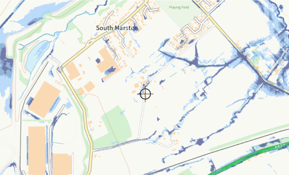
We have used the official Environment Agency surface water flood map (shown to the right) which identifies their current understanding of the areas affected by flooding, but we will be asking for that to be updated in the light of the information in the report.
There are 3 main sections to the report:
1. The Drainage System of South Marston Brook and its tributaries
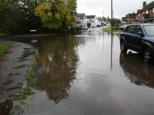
We have analysed the drainage systems used to carry surface water, concentrating on South Marston Brook and its tributaries that come via 4 main storage lagoons around the north and west of the village. We consider each of the storage lagoons in turn, noting how lack of maintenance in many cases may be a significant factor. These lagoons and tributaries account for most of the flooding in the centre of the village as well as Highworth Rd, the Bends and properties neighbouring the Brook on the eastern side of the village.
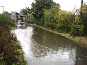 There is also a significant flow of surface water across the southern area of the village that travels from west to east, via swales and a haphazard network of truncated ditches. This is one of the main causes of flooding on Old Vicarage Lane between Manor Cottages and the Carpenter’s Arms railway bridge. The roadway and fields at either side of Old Vicarage Lane between Rowborough Lane and the railway embankment are the lowest lying, and these take the combined surface water from all the above sources
2. Photo Reports by Area
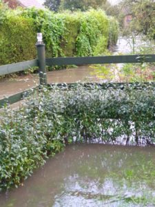
South Marston village has been divided up into a number of areas relevant to particular tributaries and the source of flood water. Each is discussed in detail, with multiple photographs and residents’ stories of their experience during Storm Babet
- Greenfields, Quarrybrook and Byron Court
- The Bends on Highworth Road
- Chapel Lane to Nightingale Lane
- Manor Cottages to the railway
- South of the Village Centre – Keypoint to Old Vicarage Lane
We have noted that not all flooding in the Parish is caused by the Brook and its tributaries – we included, for instance, information from south of the A420 and a couple of areas prone to flooding on the western side of the village
3. Summary of proposed remedial actions that have been identified
A list of potential actions has been compiled, each coming out of the discussion on the areas above. Key issues to be addressed are:
- Improving retention of surface water in the storage lagoons and possibly creating new areas of storage which have less impact on housing or roads
- Selective clearing of ditches. Sometime clearing a ditch can cause serious impact on downstream housing – there is simply too much water. Storing it safely where it is away from roads and property means less impact from ‘peak flow’.
- Addressing the issue of overflowing sewers and the inadequate capacity of the Nightingale Lane sewage pumping station
- Ensuring that the major surface water retention features at Panettoni and those planned for the HHT development are large enough and built early enough to help solve our flooding problems in the longer term.
With grateful thanks to all those residents who responded to our call for photos and comments.